

The path of the Chinese spy balloon
About once a year, something forces Americans to engage with geography. And I love it!
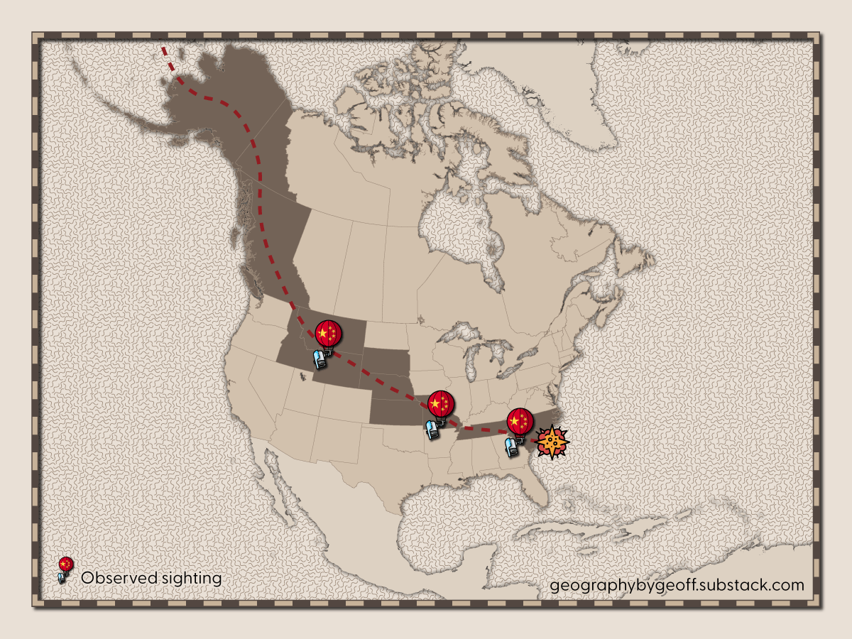
In case you somehow missed it last week, China decided to float a gigantic balloon over the United States. While China claims that it was merely “blown" off course,” the likelihood is that they intentionally floated it over the United States. Probably not to gather any intelligence — Chinese satellites are probably already gobbling up a lot of information all over the U.S. — but rather to see what the U.S. military would do in response.
Regardless of the geopolitics involved, which are fascinating, I love events like these! Once a year or so, some event comes along that really forces Americans of all ages and educational backgrounds to engage with geography. And for 2023, it was probably this spy balloon. I’ve seen so many questions about how, why, and where the balloon was at any given minute. And I’ll try to answer the most prominent question that I see ‘floating’ around right now.
Why the balloon went through Alaska and Canada before going over the United States
The most common question, aside from perhaps why a Chinese spy balloon is over the United States in the first place, is about its path. And, in particular, questions about why the balloon went through Alaska and Canada, if its intended target was nuclear missile sites in Montana. After all, most people on the planet are most accustom to a map that looks something like this:
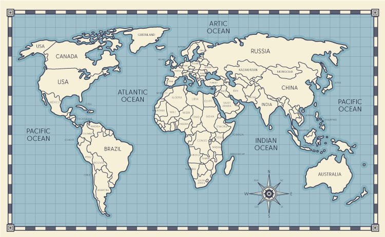
And while I think broadly most people know that our planet is actually a globe, it’s often hard to pull apart the exact location of where things exist when you’re most often exposed to flat maps. In this case, we have many people asking why in the world would a balloon fly up from China, only to then descend into the United States. Based on the map above, a simple straight line would make the most sense. But that’s not actually how the world works.
The reality is that going north and over the polar regions is often the actual straightest line. It’s why, if you fly from North America to Europe, or vice versa, your plane is making a large “swing” over Greenland and Iceland rather than flying directly over the Atlantic Ocean. It’s not because the pilots prefer to fly near land, it’s because the quickest and most efficient path is actually over the the north. It’s a good lesson is the deceptiveness of maps as a whole. While maps can be very informative and fun to look at, they’re not geographically correct.
There’s probably a future episode here for the YouTube channel, but for now I hope you enjoy the stylized map above.